


Male City Half Day Walking Tour
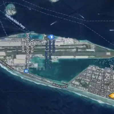
Velana International Airport (MLE), Airport Main Road, Maldives
2026-03-18 01:39:04
Male City Short Car Tour
Velana International Airport (MLE), Airport Main Road, Maldives
2026-03-18 01:39:04
Male City Short Walking Tour
Velana International Airport (MLE), Airport Main Road, Maldives
2026-03-18 01:39:04
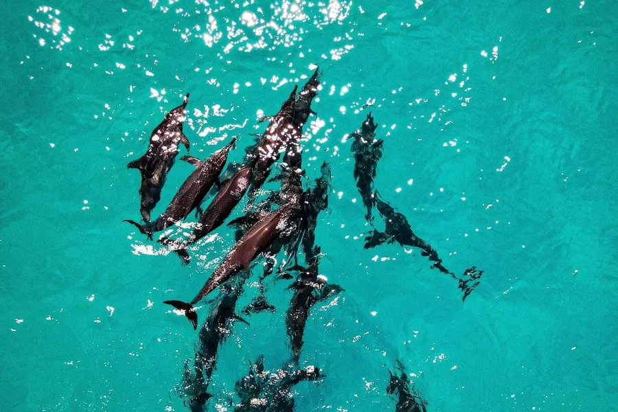
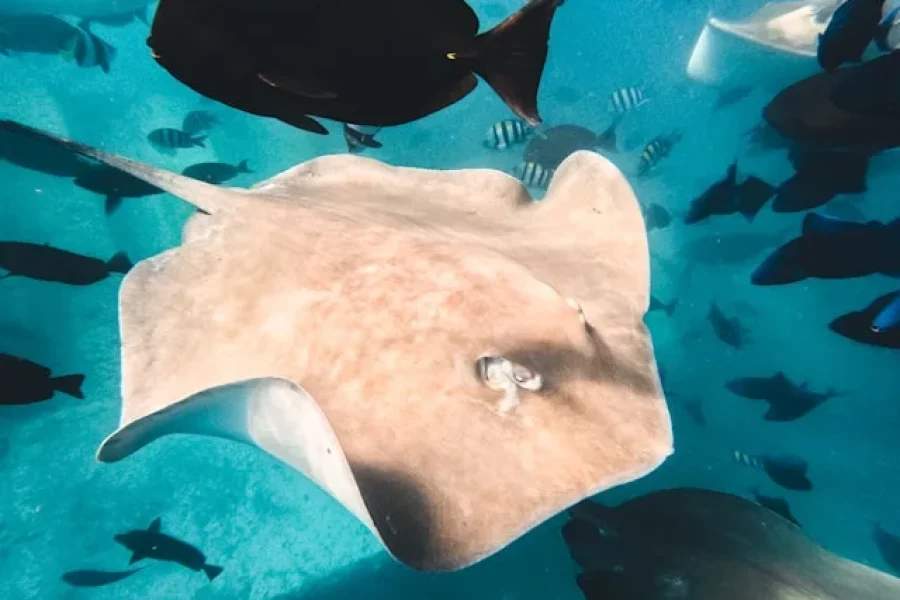
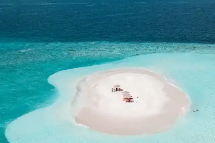


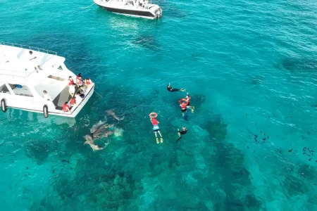
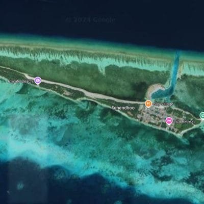
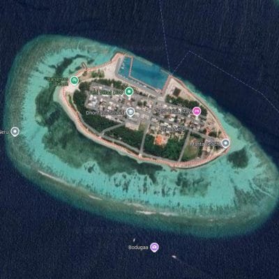
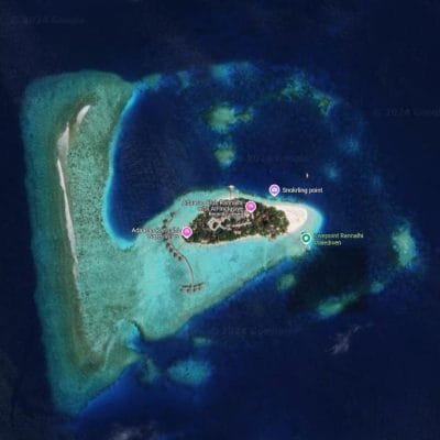
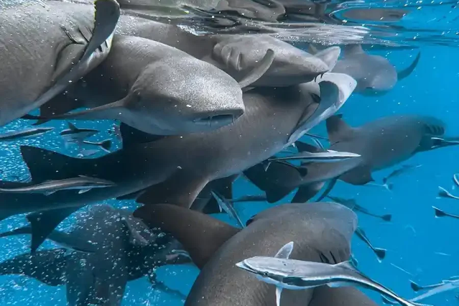
Maldives Snorkeling Activities
The Maldives is a snorkeling paradise, attracting visitors from around the world with its crystal-clear waters, vibrant coral reefs, and abundant marine life. Offering snorkelers both adventure and tranquility, the Maldives promises breathtaking encounters with everything from colorful reef fish to graceful manta rays.
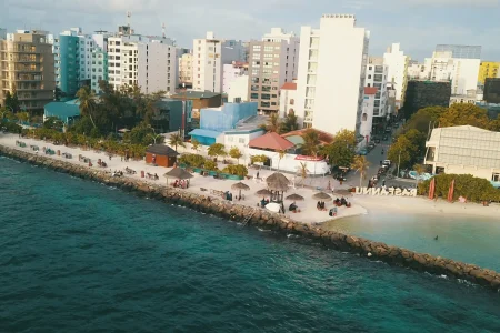
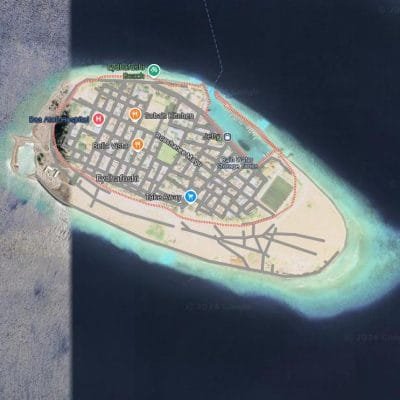
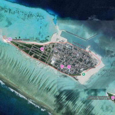
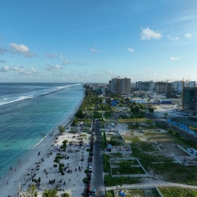
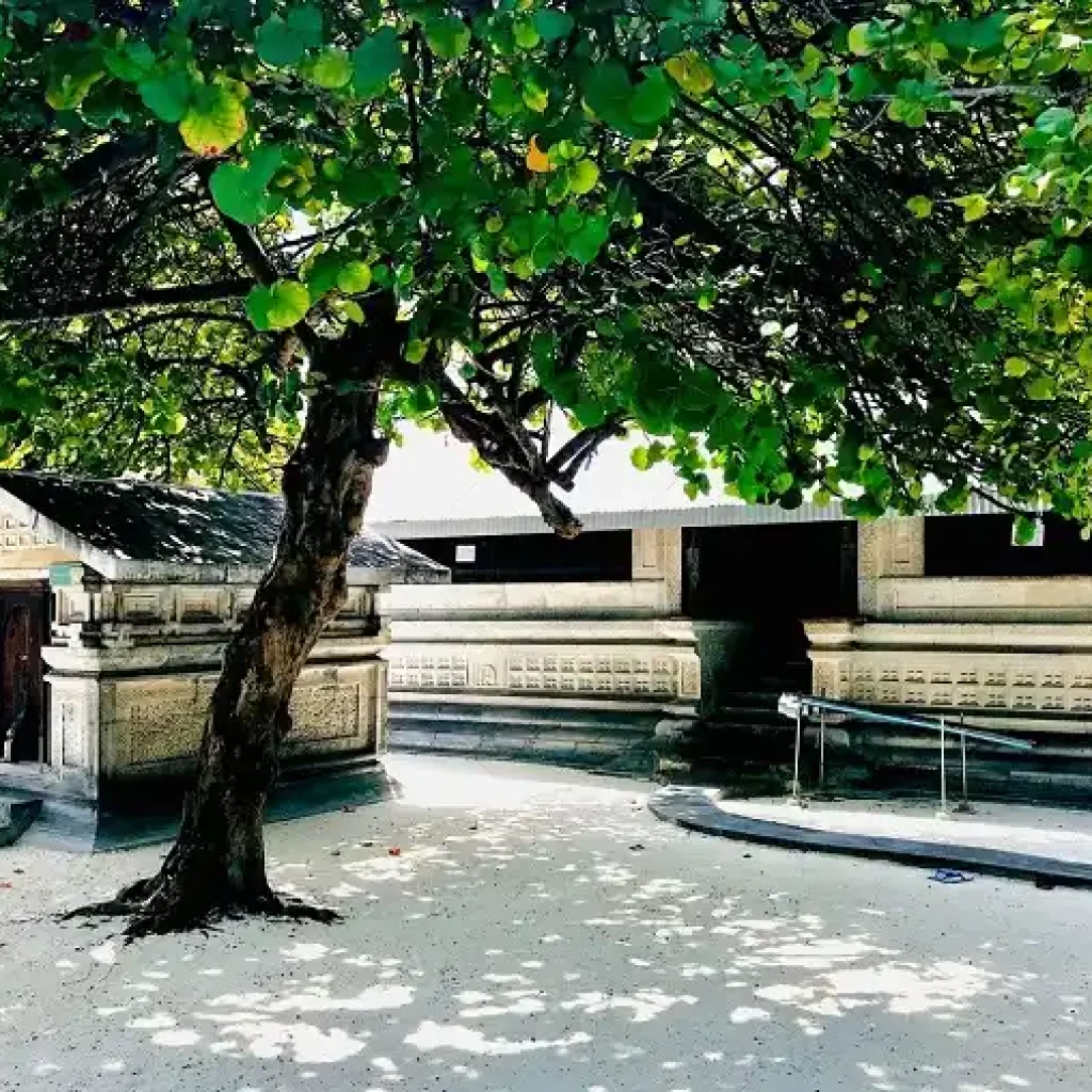
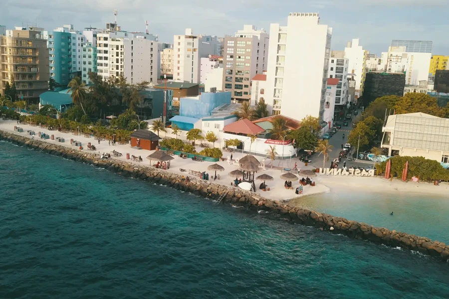
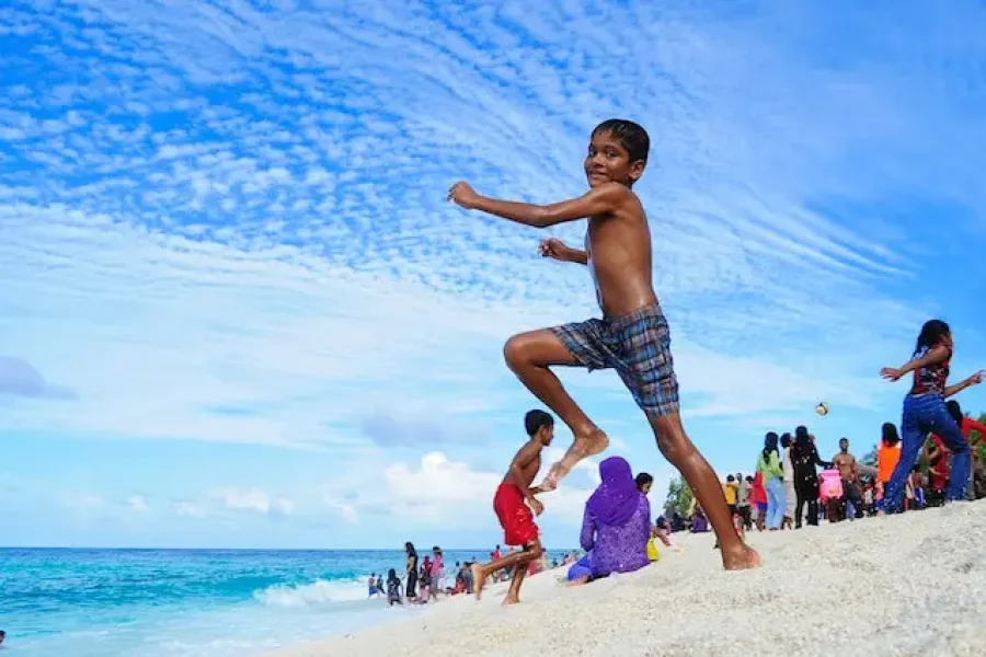
Capital Male City Tour Maldives
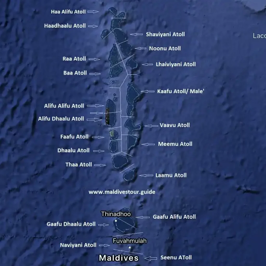
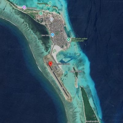
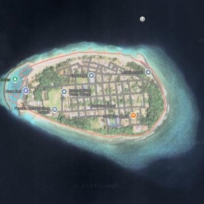
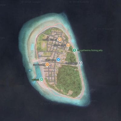
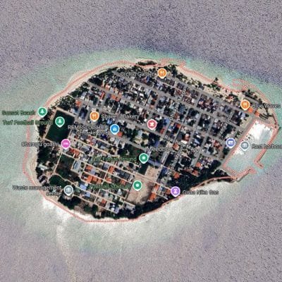
Male Maldives is the capital city and the main land of the maldives. The city is one of the most densely populated places in the world with a population of 133,412 citizens and estimated 50,000 workers in an area of 1.92 square. Male is geographically located in the southern edge of North Male’ Atoll (Kaafu Atoll) next to the Maldives international Airport. Male Maldives is a great place to visit for short periods of time. It holds many important icons and sights of the country.
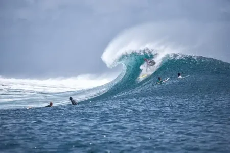
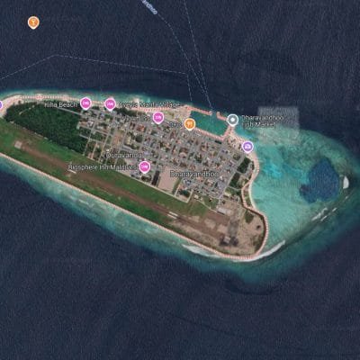
Maldives Surfing
Book Maldives Surfing from local islands for best prices and stay among the locals to enjoy your surfing holiday with very best locations.